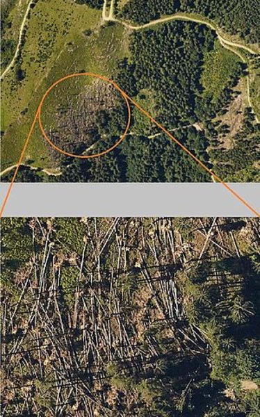
You are here: Applications » Forest storm damage
The storm damage of the woodlands in the area of Bruck an der Mur was mapped for Joanneum Research GmbH and the County of Styria.
Performance by AeroMap:
The mapping flight took place only one day after the order, data delivery 3 days, due to our quick reaction and good weather conditions. Short-term availability of data is crucial with storm damage.