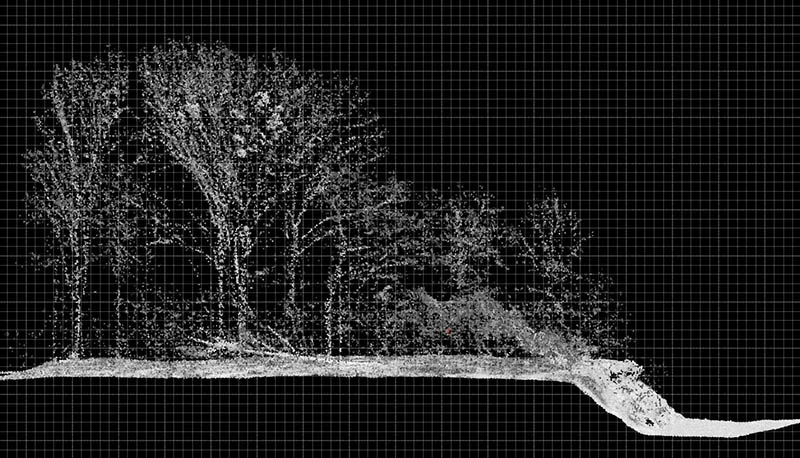
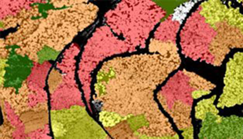
3-D Laser Scanning and Aerial Images for Forestry
3-D Laser scanning data and aerial images are the basis to derive forest parameters efficiently and comprehensively. The benefit of reliable remote sensing methods for forestry are outlined in our flyer which you can download below (in German at the moment, sorry for the inconvenience):
Download the flyer "Der gelaserte Wald - Ihr wirtschaftlicher Erfolg".